
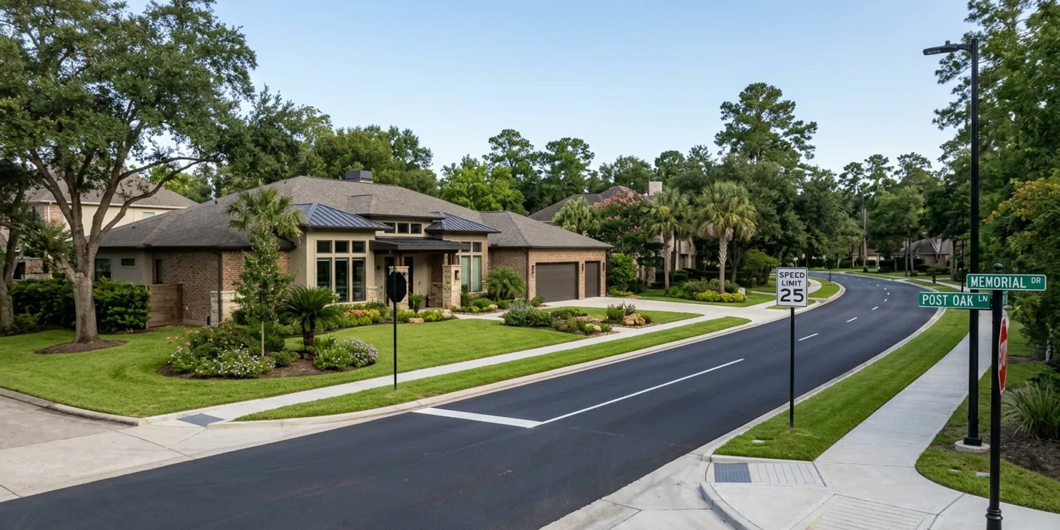
Understanding Transportation Infrastructure: Why Road Projects Matter to Your Home's Value
When evaluating a West Houston neighborhood—whether relocating, moving up, or making a first-time purchase—factors like the home itself, schools, and price often take center stage. However, transportation infrastructure is a critical, yet often overlooked, element that profoundly shapes long-term satisfaction and property value. New road projects, connectivity improvements, and evolving traffic patterns directly impact daily commutes, future development potential, and overall neighborhood desirability. This post explores why monitoring these projects is essential and how to access reliable information about what's planned for your area.
Why Transportation Infrastructure Shapes Neighborhood Value
Transportation infrastructure, though not glamorous, is a powerful driver of long-term neighborhood value and livability. Here’s why it's crucial for West Houston homeowners and buyers.
How Road Projects Affect Property Values
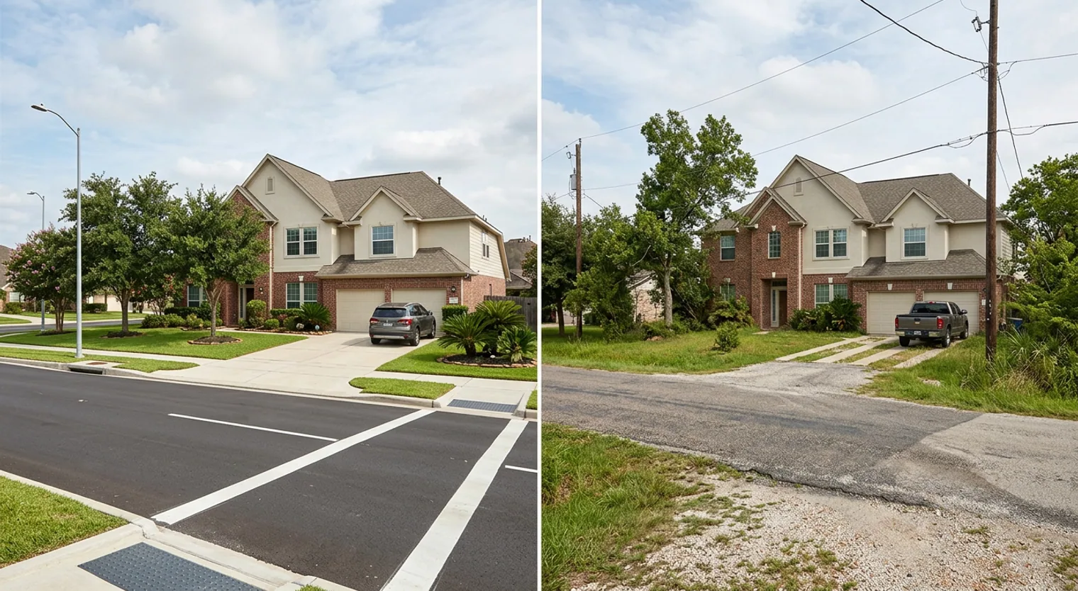
Investment in new roads or connectivity improvements by a city or county signals confidence in an area's future growth. Better roads reduce commute times, improve emergency response, and enhance accessibility to employment centers and amenities. Studies consistently indicate that homes in areas with improved transportation connectivity appreciate faster than those in isolated regions. Conversely, neighborhoods experiencing significant congestion often see slower appreciation and increased resident frustration.
The Development Connection
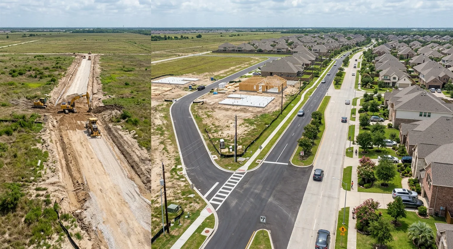
New road infrastructure frequently precedes new development. When cities like Missouri City, Sugar Land, or Katy invest in road improvements, developers take notice. Enhanced connectivity opens land for residential and commercial development, which can boost property values in adjacent areas. However, this can also lead to increased traffic and changes in neighborhood character. Understanding planned road projects helps anticipate whether a quiet neighborhood might become a major thoroughfare or if a currently remote area will become more accessible and potentially more expensive.
Commute Time and Daily Life
Commute time is a significant part of daily life. A project that improves traffic flow on your route to work or your children's school directly enhances your quality of life. Conversely, road closures during construction can temporarily worsen commutes. Being aware of planned projects enables informed decisions about the timing of a home purchase or sale.
The MUD and Tax Connection
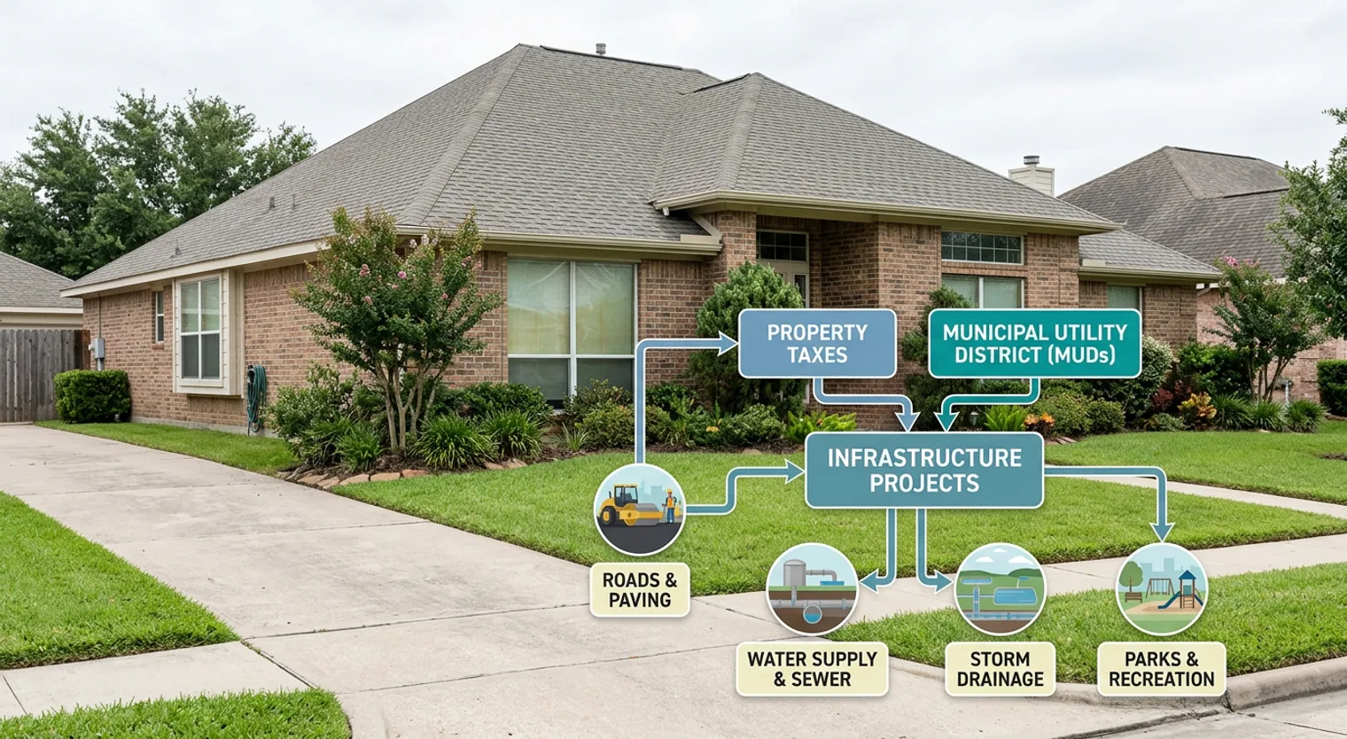
Many buyers are unaware that transportation infrastructure improvements are often funded through Municipal Utility District (MUD) bonds and property taxes. When purchasing a home in an area with active road projects, you may be contributing to the funding of that infrastructure through your taxes. Understanding planned projects and their associated costs helps evaluate the true cost of homeownership in that district. A neighborhood with excellent road connectivity might have higher MUD taxes, but potentially lower long-term costs due to reduced vehicle wear and faster commutes.
How to Research Transportation Projects in West Houston
Begin your research with your city or county's transportation department or planning office. The Texas Department of Transportation (TxDOT) maintains a project database for state highways. Local cities such as Katy, Sugar Land, and Missouri City publish capital improvement plans detailing planned road projects, timelines, and funding. Community Impact Newspaper also covers local transportation news and is an excellent resource for understanding developments in your specific area. This research is a strong predictor of a neighborhood's future trajectory.
For example, Missouri City and its partners are investing in new road infrastructure within the Sienna community to improve connectivity. This public-private partnership exemplifies how municipalities prioritize transportation improvements to support growing areas. For buyers and existing homeowners in Sienna or nearby communities, these infrastructure investments signal future development potential and improved accessibility—factors that typically support property value appreciation over time. Source: Community Impact Newspaper - Sugar Land/Missouri City Edition
Resource Spotlight: Your Guide to Transportation Project Information
Start Here: TxDOT Project Map & Your City's Capital Improvement Plan
Visit txdot.gov/apps/tti/tti.html for information on state highway projects. Then, contact your specific city's Public Works Department for local road projects. Sugar Land, Katy, Missouri City, and Cypress all publish detailed capital improvement plans online. These documents provide crucial information on planned projects, timelines, and estimated costs, which are essential for evaluating a neighborhood's trajectory and your true cost of ownership.
Staying informed about local transportation initiatives is key to understanding neighborhood development patterns. The partnership between Missouri City and its partners to build new roads in Sienna highlights the real-world impact of transportation planning on community growth and buyer considerations. Source: Community Impact Newspaper - Sugar Land/Missouri City Edition
Transportation infrastructure may seem like a technical detail, but it is one of the most reliable indicators of a neighborhood's future. Before making an offer on a home, dedicate 30 minutes to researching planned road projects in your target area. Visit your city's website, check TxDOT's database, and review recent Community Impact articles. This simple step will provide valuable insights into both the home and the neighborhood you are considering, ensuring it aligns with your long-term goals.
Get guidance for your specific move.
Online research is a useful starting point. The home, neighborhood and timing still need to work together. Text John with what you are considering and get a practical next step.
Text John